

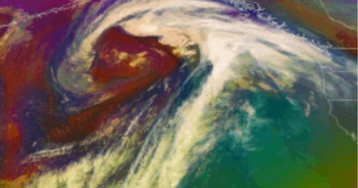
A third powerful storm in a row is hitting British Columbia's coast this week, and forecasters warn it could bring more than 250 millimetres of rain to parts of Vancouver Island. Flood watches are in place across much of the South Coast, and officials are warning about landslides and power outages.
What forecasters expect
Environment Canada has issued about a dozen rain and wind warnings for the province. The most serious are orange-level rainfall warnings, which mean the storm is likely to cause significant damage and disruption. They cover:
- West and central Vancouver Island: more than 250 mm of rain possible.
- Howe Sound and the Sea-to-Sky corridor (the area between Vancouver and Whistler): more than 160 mm possible.
To put that in perspective, 250 mm is about 10 inches of rain. That is more than Vancouver's airport normally records in the whole month of November, falling in just a few days.
The province's River Forecast Centre said on Monday that the heaviest rain is expected on Tuesday and Wednesday, November 10 and 11, with lighter rain continuing through the rest of the week. Warmer air is also expected to melt some of the early-season snow in the mountains, which adds even more water to rivers and creeks.
Flood watches
The River Forecast Centre upgraded its warnings to a flood watch, which means river levels are rising and may overflow their banks. The flood watch covers:
- The South Coast, including Howe Sound, the North Shore mountains and the Sea-to-Sky area.
- Northern, western, central and eastern Vancouver Island.
- The Central Coast, including Kingcome and nearby areas.
- The northern Fraser Valley.
Officials also warn that steep slopes soaked by days of rain can give way, so landslides and debris flows are a real risk in mountain areas and along some highways.
What has already happened
This is the third storm in about a week, after a long and unusually dry fall. The earlier storms have already caused damage and, sadly, deaths:
- A driver was killed when a tree fell on a vehicle in Surrey.
- A pedestrian died after being hit by a car in Vancouver during a heavy downpour.
- A canoeist was reported missing in rough water off northern Vancouver Island.
- At the peak of the earlier storms, about 415,000 BC Hydro customers lost power.
- An evacuation order covered about 30 properties in the village of Zeballos, on northwest Vancouver Island.
- BC Ferries cancelled some evening sailings between Tsawwassen and Swartz Bay over the weekend because of high winds.
Why B.C. gets these storms
These storms are known as atmospheric rivers: long, narrow bands of very moist air that flow from the warm Pacific toward the coast. When they hit B.C.'s mountains, the air is forced upward, cools and drops huge amounts of rain. Atmospheric rivers are a normal part of B.C.'s fall and winter weather, and they supply much of the province's water. Problems start when several arrive back to back, as they are doing now, because the ground and rivers have no time to recover between them.
Many British Columbians remember November 2021, when a series of atmospheric rivers caused severe flooding in the Fraser Valley, washed out major highways and cut off road links between Vancouver and the rest of Canada for days. This week's storms are a reminder of that risk, and the River Forecast Centre is updating its warnings several times a day as rivers rise.
How to stay safe
- Check before you drive. Road conditions can change quickly. DriveBC lists closures and restrictions.
- Stay away from rivers and creeks. Banks can collapse and water moves faster than it looks.
- Never drive through flooded roads. Even shallow moving water can sweep a vehicle away.
- Watch for falling trees and power lines in high winds, and stay at least 10 metres from downed lines.
- Prepare for outages: charge phones, and keep flashlights, water and some food on hand.
- Follow local alerts. EmergencyInfoBC and local governments post evacuation orders and alerts.
What to watch next
- River levels on Wednesday and Thursday, after the heaviest rain.
- Any upgrade from flood watches to flood warnings, which would mean rivers are already overflowing or about to.
- Highway and ferry disruptions, especially on the Sea-to-Sky Highway and on Vancouver Island.
- Whether more storms line up behind this one later in the month.
Sources
- Global News: Orange-level rainfall warnings issued as 3rd storm heads for B.C. coast globalnews.ca
- CP24: Parts of B.C. on flood watch with another batch of storms incoming cp24.com
- CFJC Today: B.C. deluge could bring 250 mm of rain cfjctoday.com
- EmergencyInfoBC: Flood watch issued for parts of B.C. emergencyinfobc.gov.bc.ca
- B.C. River Forecast Centre: Flood warnings and advisories bcrfc.env.gov.bc.ca
- The Weather Network: Series of storms will bring another deluge to B.C. theweathernetwork.com
- Global News: First of season storms bring minor flooding, outages to B.C. globalnews.ca